Snow pack levels just below normal for West Kootenay; below normal in Boundary
Despite a seemingly low amount of snow this winter the backcountry snowpack levels should alleviate concerns of an overly hot and dry summer in the West Kootenay.
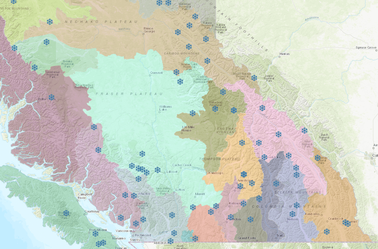
The snow pack in the West Kootenay region on average is right on track, sitting at around 90 per cent of normal. However, the Boundary region is around 36 per cent below its normal amount.
There is no region in the province with a really high snowpack, according to the province’s River Forecast Centre, nor with a high risk for seasonal flooding like last year.
Last spring marked record flood levels in Grand Forks with many people evacuated and several buildings were destroyed.
However, if the snow melts too fast it could lead to further drought problems later in the year. (Public access to the BC Government Snow Station Interactive Map can bee seen at this link.)
So far this season, snow accumulation has been dominated by persistent weather patterns.
Most of this years’ snowpack built up rapidly over a five to six-week period from early-December to early-January.
“Weather through February shifted into the dominance of Arctic airacross the province, with extremely cold temperatures and limited snow accumulation,” noted the most recent report.
This pattern continued into the beginning of March, with most basins dropping by five to 15 per cent relative to normal compared to Feb. 1 due to the dry and cold conditions.
In the Kootenay Boundary backcountry there is no avalanche warning. Looking at the Avalance Canada website gives the current avalanche danger for each region, which remains low for all three elevation bands – alpine, treeline and below treeline.
It’s the first big warm trend to hit the snowpack this season, and it has de-stabilized the levels of snow, weakening the snowpack on all aspects and increasing the possibility of large natural avalanches.
Across the province higher elevation automated snow weather stations recorded very low precipitation relative to normal conditions, with many sites recording much lower than normal precipitation.
Due to warm and dry conditions, the provincial snowpack is expected to decrease relative to normal over the next month.
In a typical year, approximately 88 per cent of the winter snowpack has accumulated by March 15 across the province.
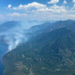
That declining snowpack has already come and gone in the Central Interior where there where BC Wildfire crews responded to a pair of fires near Chase in the Shuswap Region.
The Kamloops-Shuswap road fire was approximately 250 hectares in size while the River Flats fire was approximately 100 hectares.
Both wildfires reportedly started Saturday afternoon, burning through grass and brush on the Neskonlith 1 Reserve.
No word on what started either of the wildfires.
Both wildfires were extinguished by BC Wildfire firefighters.
This story was changed to update the current avalanche conditions according to Avalanche Canada.


