UPDATED: Special Weather Statement continues

By Boundary Sentinel
Environment Canada continues to monitor weather patterns in the southern interior of BC, and now has a Special Weather Statement in effect.
“Showers and thunderstorms over the next few days will impact areas affected by overland flooding,” Environment Canada website said. “Total rainfall amounts will be in the 20 to 40 mm range by late Saturday.”
For Thursday and into Friday, showers will continue over ontinue over the Kootenays and Okanagan Valley and will spread west towards to Similkameen early this evening. Embedded thunderstorms and the continued risk of heavy downpours are possible in these areas.
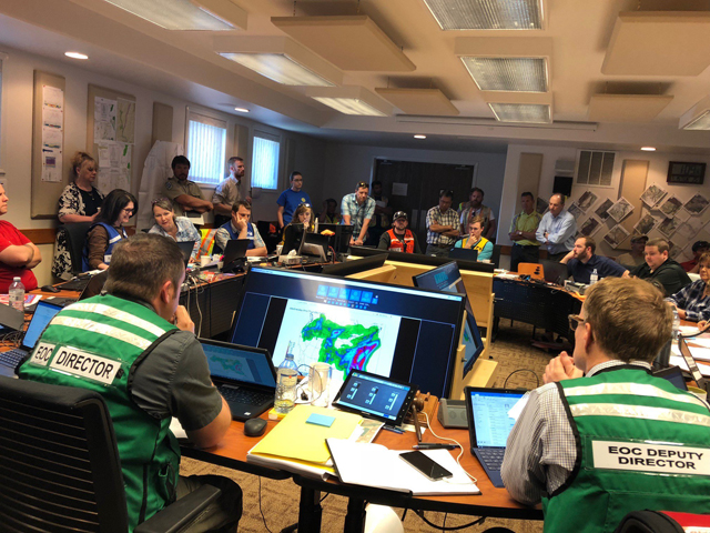
In light of the recent flooding concerns, please refer to the following websites for additional information contact BC River Forecast Center or Emergency Management BC.
Special Weather Statement continues
Environment Canada is continuing its special weather statement for the southern interior, including Boundary, Arrow-Slocan Lakes, Okanagan Valley, East and West Kootenay, Kootenay Lake and Elk Valley.
“Showers and thunderstorms over the next few days will impact areas affected by overland flooding,” Environment Canada website said. “Total rainfall amounts will be in the 20 to 40 mm range by late Friday.”
Forecast for Thursday and Friday shows showers will continue over the Kootenays and will spread west towards the Okanagan Valley Thursday afternoon — embedded thunderstorms and the continued risk of heavy downpours are possible in these areas.
Please continue to monitor alerts and forecasts issued by Environment Canada.
To follow their weather alerts to Environment Canada Link.
Special Weather Statement for Boundary
Environment Canada has issued a special weather statement for the West Kootenay, Boundary and Arrow Lakes regions, warning of a system that may bring heavy rainfalls to areas already impacted by flooding.
“Showers and thunderstorms over the next few days will impact areas affected by overland flooding. Total rainfall amounts will be in the 20 to 40 mm range by late Friday,” the website says.
“(Wednesday)tThe threat will be thunderstorms with the potential for brief, heavy downpours in the Kootenays. Rainfall amount in thunderstorms could reach 15 mm in an hour.
“Thursday and Friday: Showers will continue over the Kootenays and will spread west into the Okanagan Valley Thursday afternoon. Embedded thunderstorms and the continued risk of heavy downpours are possible in these areas.”
To follow their weather alerts to Environment Canada Link.