New evacuation order, alert in Cranbrook area
In the interest of public safety, the Regional District of East Kootenay has implemented a partial evacuation order for the Moyie Lake area and an evacuation alert for the St. Mary’s River area effective immediately Sept. 1, 2017.
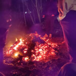
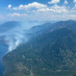
The Southeast Fire Centre said in the media release the Lamb Creek wildfire is located about five kilometres northwest of the community of Moyie and 18 kilometres southwest of Cranbrook.
“This 220-hectare wildfire is in difficult terrain containing volatile fuel types that will challenge fire suppression operations. (Friday) there are 35 personnel on site building fire guards with the aid of six pieces of heavy equipment, five helicopters and airtankers.”
The RDEK said the evacuation ORDER area includes:
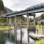
- the area NORTH of the townsite of Moyie to the Swansea Bridge (including Porto Rico Road, Hiawatha RV Resort, Moyie Vista Resort and Owl’s Nest).
- the WEST side of Moyie Lake from Aurora Estates north including Greenbay, Mineral Lake and Monroe Lake and Moyie Lake Provincial Campground.
- the Moyie/Munroe evacuation ORDER area does not include Moyie townsite, Eagles Nest, Moyie Shores Estates.
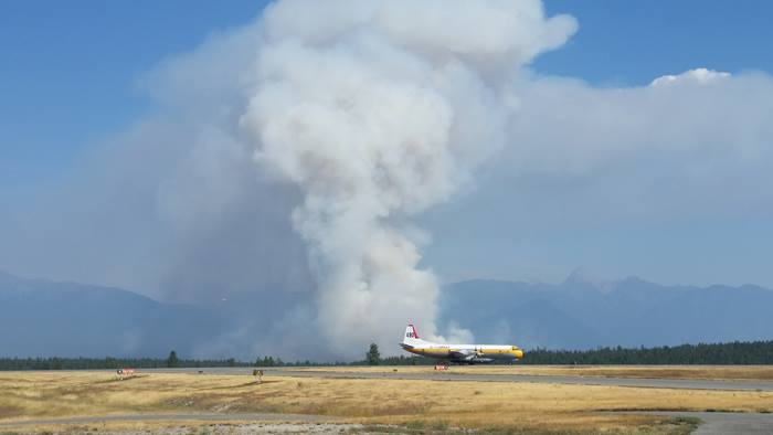
The Southeast Fire Centre said St. Mary’s River wildfire is located 14 kilometres northeast of Cranbrook in the St. Mary’s Reserve. This 250-hectare wildfire, burning on the Aq’am Reserve lands and forced the closure of the Cranbrook Airport Friday, has 12 personnel on site working with airtankers, helicopters and heavy equipment.
The cause of this fire is under investigation.
“Approximately 30 homes were evacuated by the Band Friday afternoon,” the RDEK Facebook page said.
“The fire quickly grew in the midst of the changing afternoon winds and is now estimated at 250 hectares in size. An evacuation ALERT was issued Friday evening for an area from the Reserve to Fort Steele – RCMP and Search and Rescue assisted with delivery of the alert notices.”
For detailed information about this evacuation order and alert, people should call the Regional District of East Kootenay at 250 426-2188 or visit the district’s website at: http://www.rdek.bc.ca
The BC Wildfire Service said the increased wind activity expected in the Southeast Fire Centre, paired with the hot and dry conditions continuing in the region, there is an anticipation of an increase in fire behaviour heading into the long weekend.
The Southeast Fire Centre extends from the U.S. border in the south to the Mica Dam in the north and from the Okanagan Highlands and Monashee Mountains in the west to the B.C.-Alberta border in the east. The Southeast Fire Centre includes the Selkirk Natural Resource District and the Rocky Mountain Natural Resource District.
To report a wildfire or open burning violation, call *5555 on a cellphone or 1 800 663-5555 toll-free.
For the latest information on current wildfire activity, burning restrictions, road closures and air quality advisories, visit: www.bcwildfire.ca
You can also follow the latest wildfire news:
* On Twitter: http://twitter.com/BCGovFireInfo
* On Facebook: http://facebook.com/BCForestFireInfo


