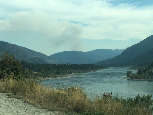
Smoke from U.S. wildfires visible in southeast B.C.
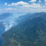
Most of the smoke that’s been visible in parts of the Southeast Fire Centre is coming from several wildfires in Washington State, particularly one near Deep Lake in Stevens County.
The Deep Lake wildfire, south of Trail, is 15 kilometres south of the Canada-U.S. border and covers about 300 hectares. Although this fire is not currently spreading north, the BC Wildfire Service is providing airtankers to help suppress this fire.
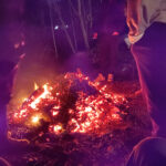
The BC Wildfire Service is responding to a number of fires in the Southeast Fire Centre that are visible from surrounding communities. None of these fires is immediately threatening communities or structures.
- The wildfire west of Trout Lake (in the Wilkie Creek area) covers about 30 hectares. This fire is burning in very steep terrain, so it is unsafe for ground crews to access it directly. This fire is being closely monitored.
- The lightning-caused wildfire burning on Curry Mountain (northeast of Beaverdell) is now 100% contained and is in the patrol stage.
- Two BC Wildfire Service initial attack crews assisted the Balfour Harrop Volunteer Fire Department with a 0.2-hectare fire. This fire is now 100% contained.
- The modified response fire burning in Granby Provincial Park covers 60 hectares and is being closely monitored.
To report a wildfire, unattended campfire or open burning violation, call 1 800 663-5555 toll-free or *5555 on a cellphone. For the latest information on current wildfire activity, burning restrictions, road closures and air quality advisories in British Columbia, visit: http://www.bcwildfire.ca
You can also follow the latest wildfire news on:
- Twitter at http://twitter.com/BCGovFireInfo
- Facebook at http://facebook.com/BCForestFireInfo
For information about wildfires in the United States, please visit: http://inciweb.nwcg.gov


